|
Narrative of the Earl of Elgin's Mission
to China and Japan in the years
1857, 1858, 1859, 1859
by Laurence Oliphant, 1859
Oliphant, Laurence:
Narrative of the Earl of Elgin's Mission to China and Japan in the years 1857, 1858, 1859, Edinburgh, William Blackwood and Sons, 2 volumes, blue pictorial/gilt cloth, 1859, 8vo. Illustrated with 5 folding maps, 20 colored lithographic plates (4 are facsimiles of Japanese woodblock prints) and 50 wood-engraved text illustrations. Volume 1 - 492 pp (5 lithographs, 2 maps & 20 text illustrations) and Volume 2 - 496 pp (15 color lithographs, 3 maps & 30 text illustrations). Laurence Oliphant was a private secretary to Lord Elgin and accompanied him to Calcutta, Hong Kong, Canton, Tientsin and Yedo. The main purpose of the mission was the signing of treaties opening both China and Japan to British trade. The first part provides a survey of the Yangtze river and the opening of China to Western commerce. The second part provides a description of the political and social conditions in Japan.
Title Pages
Volumes 1 & 2
Table of Contents.
Volume 1
Volume 2
Lithographs - Volume 1
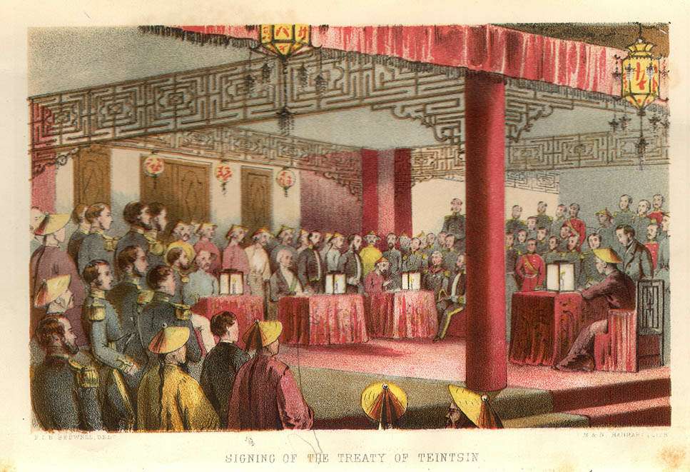
Signing of the Treat of Tiensin
 The Storming of Canton
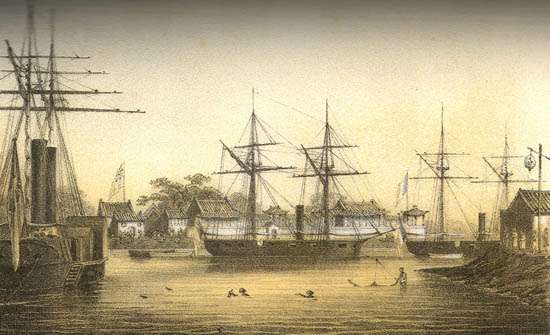
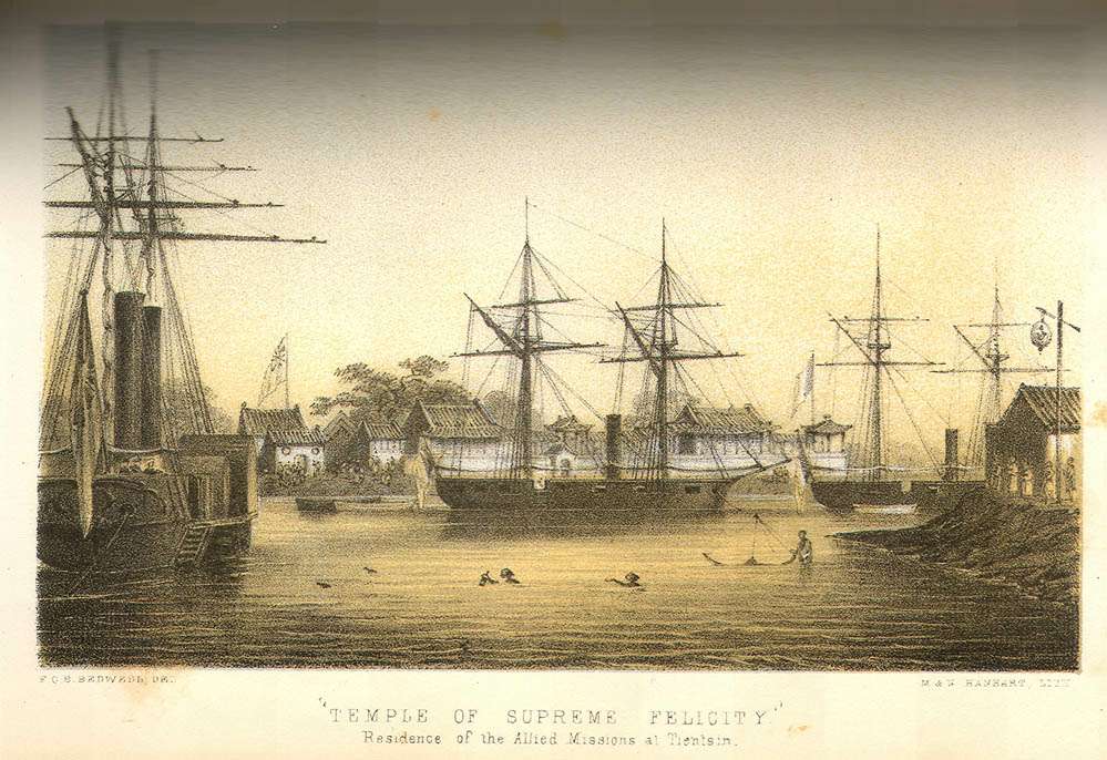
 Temple of Supreme Felicity (Residence of the Allied Missions at Tientsin)
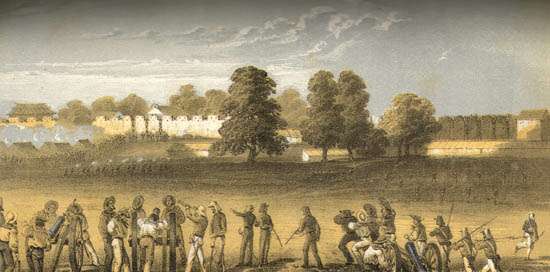
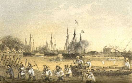
 Capture of the Peiho Forts
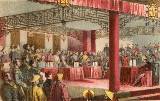
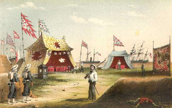
 Reception-Tent of the Imperial commissioners, Takoo
 Volume 2
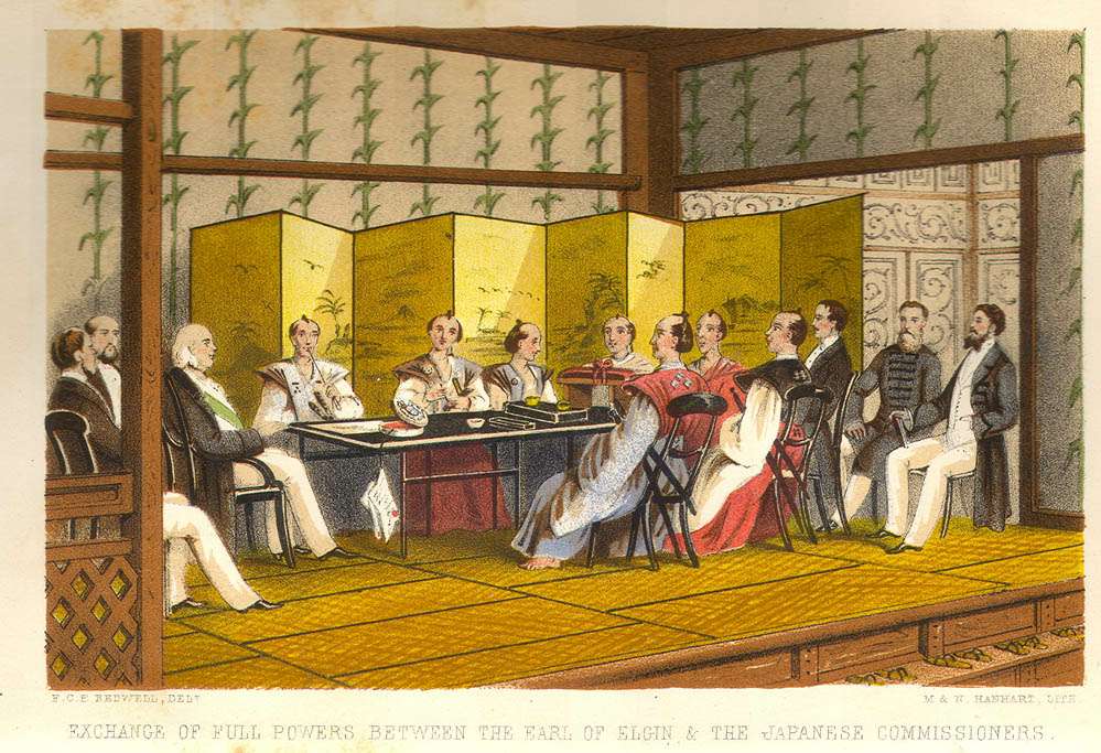
Exchange of Full Powers Between the Earl of
Elgin and the Japanese Commissioners
Nagasaki
Volume 2
Exchange of Full Powers Between the Earl of
Elgin and the Japanese Commissioners
Nagasaki
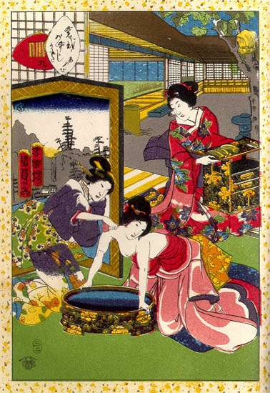
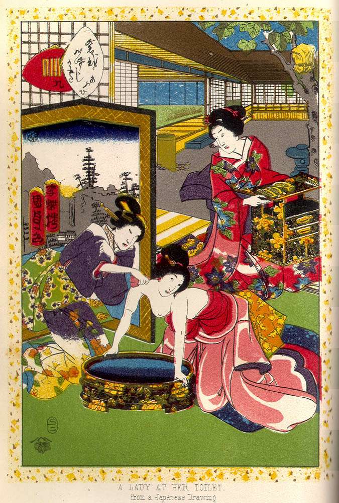
 A Lady at Her Toilet (From a Native Drawing)
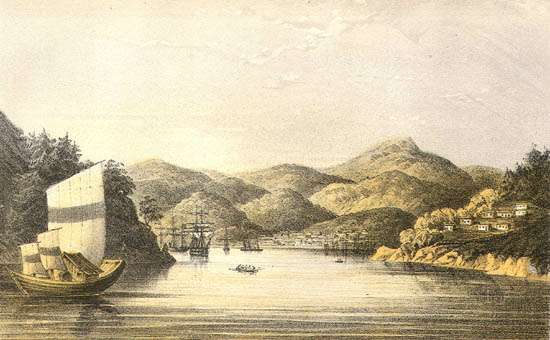
 Shimoda
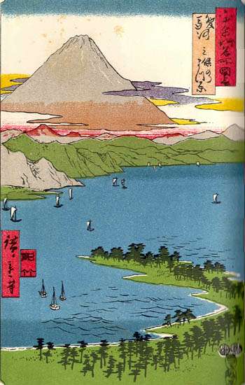
 A View of Fusi-Yama (From a Native Drawing)
 Yedo Forts
 Residence of the British Mission at Yedo
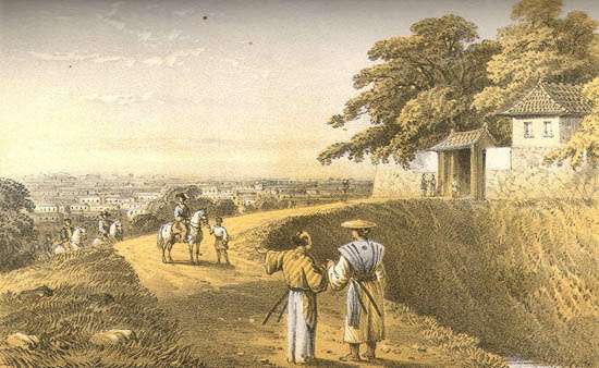
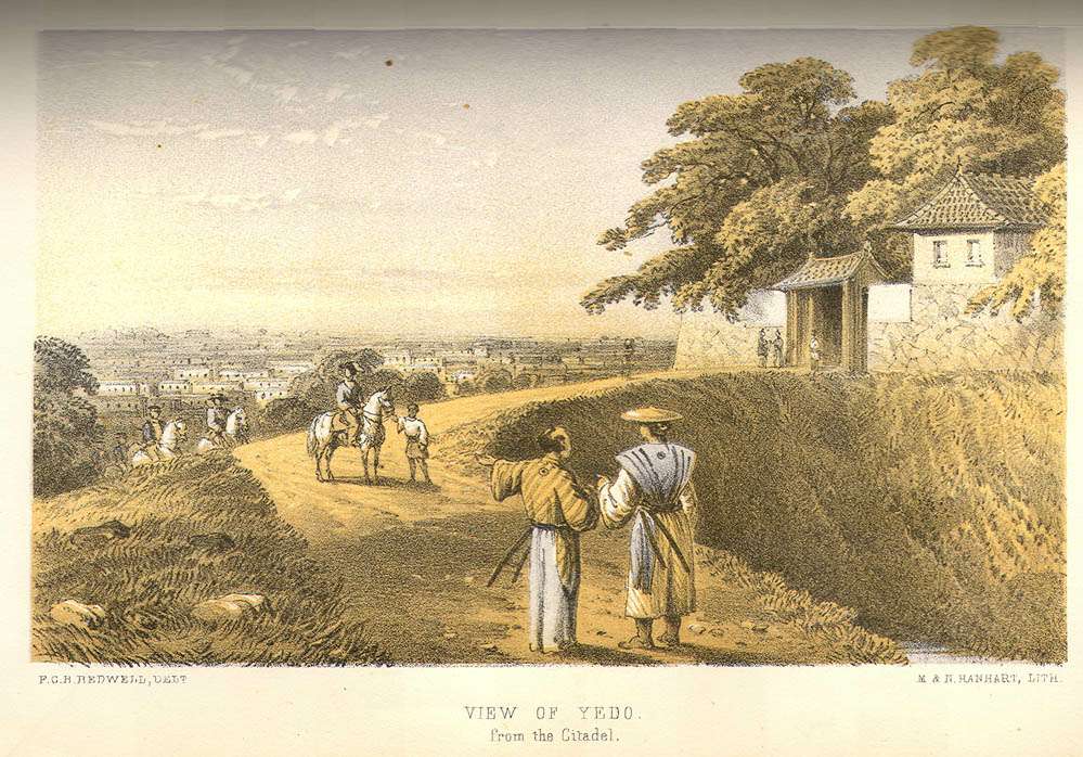
 View of Yedo from the Citadel
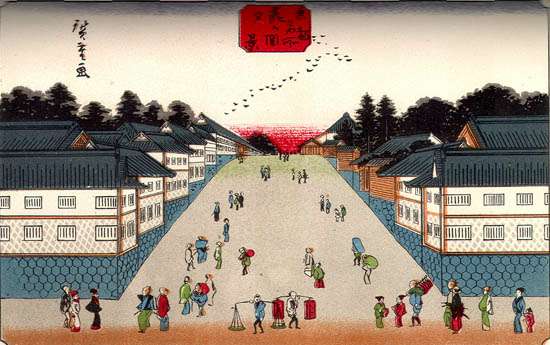
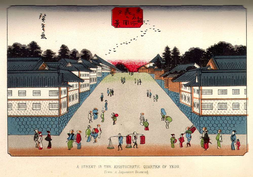
 A Street in the Aristrocratic Quarter of
Yedo (From a Native Drawing)
A Street in the Aristrocratic Quarter of
Yedo (From a Native Drawing)
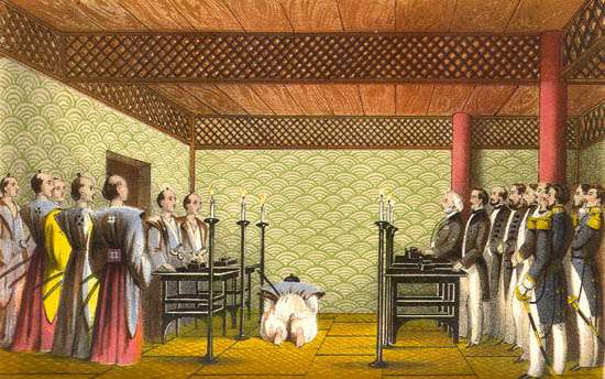
 Interview Between the Earl of Elgin and the
Prime Ministers of Japan
Interview Between the Earl of Elgin and the
Prime Ministers of Japan
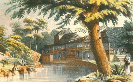
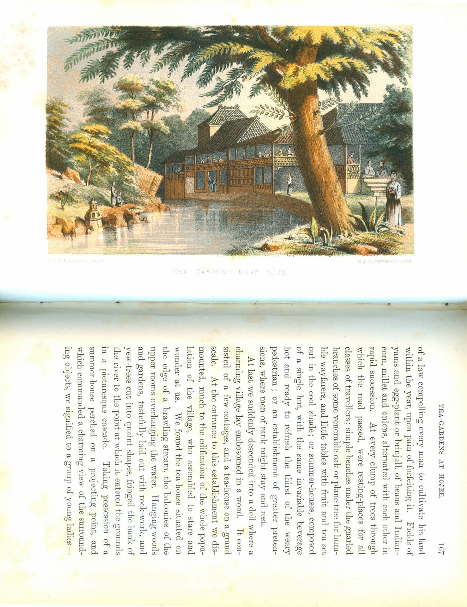
 Tea-Gardens Near Yedo
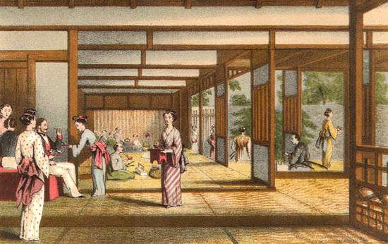
 Tea-Gardens, Interior
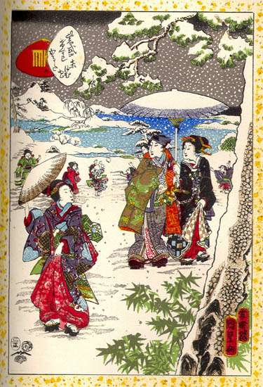
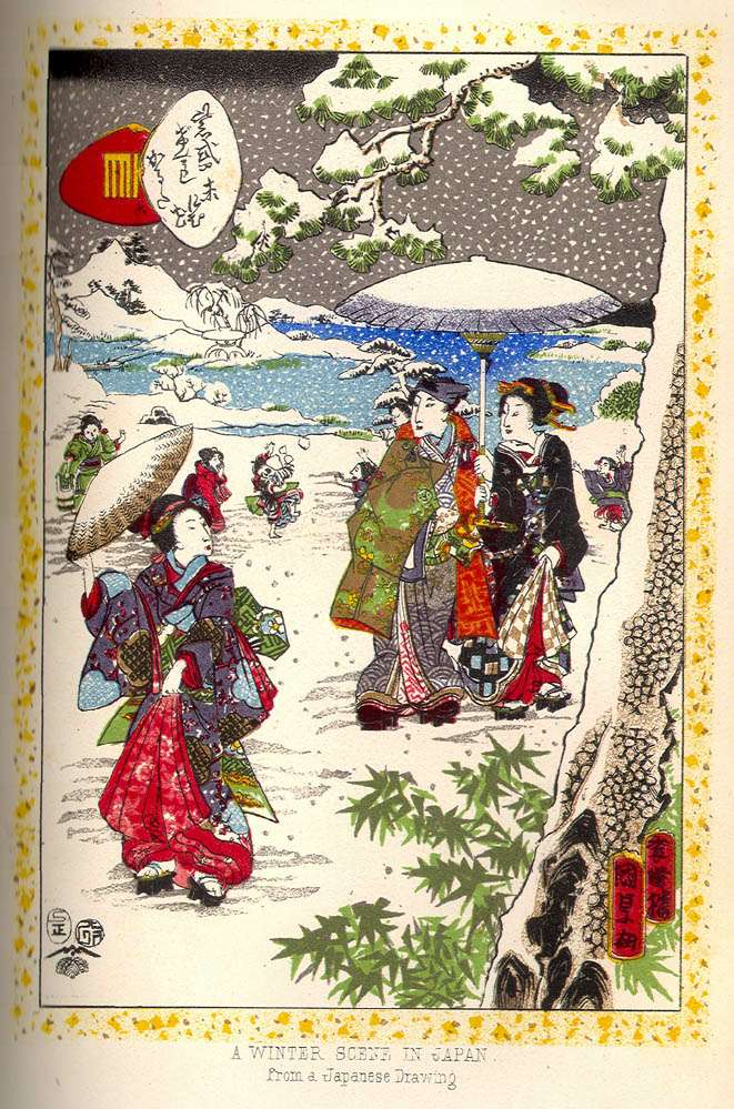
 A Winter Scene in Japan (From a Native Drawing)
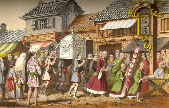
 Japanese Funeral
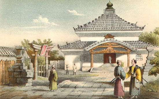
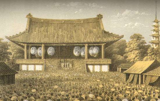
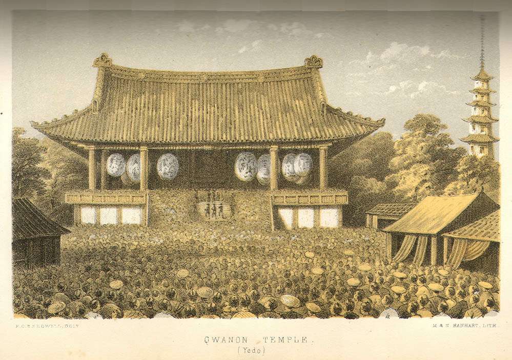
 Quanon (Qwanon) Temple, Yedo
Maps - Volume 1
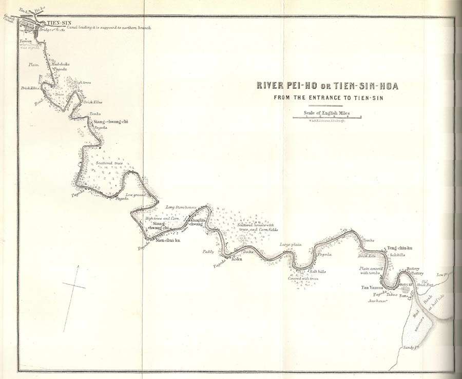
The Peiho River (21.5 x 26 cm)
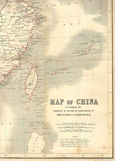
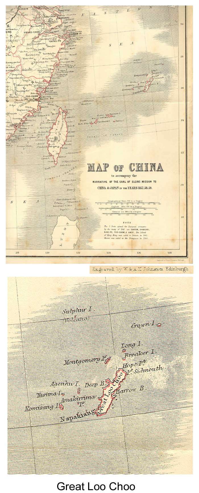
 Map of China (52.5 x 60.3 cm)
Maps - Volume 2
Empire of Japan
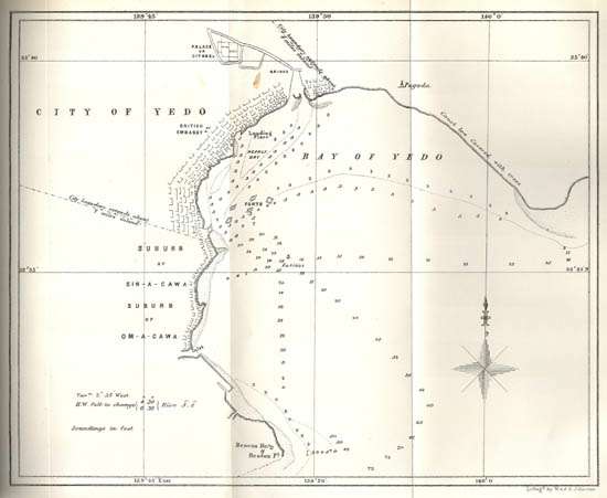
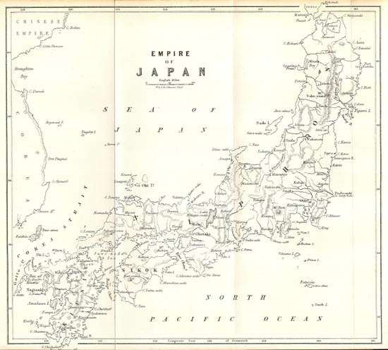 Chart of the Harbour and Soundings of the Bay of Yedo
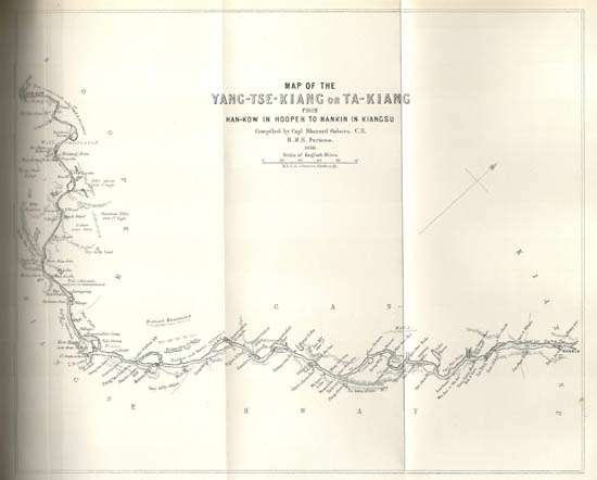
 The Yang-Tse-Kiang River
 Summary of Plates and Maps
20 Color (Chromo) Lithographs
5 Maps (fold out)
50 Woodcut Text Illustrations
Volume 1.
Lithographs (Color)
At page
Signing of the Treat of Tiensin Frontispiece
The Storming of Canton 125
Temple of Supreme Felicity (Residence
of the Allied Missions at Tientsin) 236
Capture of the Peiho Forts 299
Reception-Tent of the Imperial
commissioners, Takoo 300
Maps
The Peiho River (21.5 x 26 cm) 313
Map of China (52.5 x 60.3 cm) 492
Black and White Woodcut Text Illustrations (20 in total)
Volume 2
Lithographs (Color)
Exchange of Full Powers Between the Earl of
Elgin and the Japanese Commissioners Frontispiece
Nagasaki 7
A Lady at Her Toilet (From a Native Drawing) 19
Shimoda 71
A View of Fusi-Yama (From a Native Drawing) 97
Yedo Forts 101
Residence of the British Mission at Yedo 117
View of Yedo from the Citadel 130
A Street in the Aristrocratic Quarter of
Yedo (From a Native Drawing) 140
Interview Between the Earl of Elgin and the
Prime Ministers of Japan 151
Tea-Gardens Near Yedo 167
Tea-Gardens, Interior 169
A Winter Scene in Japan (From a Native Drawing) 180
Japanese Funeral 188
Quanon Temple, Yedo 212
Black and White Woodcut Text Illustrations (30 in total)
Maps
Empire of Japan 1
Chart of the Harbour and Soundings of the
Bay of Yedo 14
The Yang-Tse-Kiang River 288
Map 1 21.5 x 24.5 (2 folds out)
Map 2 21.5 x 25 (2 folds out)
Map 3 21.5 x 25 (2 folds out)
Summary of Plates and Maps
20 Color (Chromo) Lithographs
5 Maps (fold out)
50 Woodcut Text Illustrations
Volume 1.
Lithographs (Color)
At page
Signing of the Treat of Tiensin Frontispiece
The Storming of Canton 125
Temple of Supreme Felicity (Residence
of the Allied Missions at Tientsin) 236
Capture of the Peiho Forts 299
Reception-Tent of the Imperial
commissioners, Takoo 300
Maps
The Peiho River (21.5 x 26 cm) 313
Map of China (52.5 x 60.3 cm) 492
Black and White Woodcut Text Illustrations (20 in total)
Volume 2
Lithographs (Color)
Exchange of Full Powers Between the Earl of
Elgin and the Japanese Commissioners Frontispiece
Nagasaki 7
A Lady at Her Toilet (From a Native Drawing) 19
Shimoda 71
A View of Fusi-Yama (From a Native Drawing) 97
Yedo Forts 101
Residence of the British Mission at Yedo 117
View of Yedo from the Citadel 130
A Street in the Aristrocratic Quarter of
Yedo (From a Native Drawing) 140
Interview Between the Earl of Elgin and the
Prime Ministers of Japan 151
Tea-Gardens Near Yedo 167
Tea-Gardens, Interior 169
A Winter Scene in Japan (From a Native Drawing) 180
Japanese Funeral 188
Quanon Temple, Yedo 212
Black and White Woodcut Text Illustrations (30 in total)
Maps
Empire of Japan 1
Chart of the Harbour and Soundings of the
Bay of Yedo 14
The Yang-Tse-Kiang River 288
Map 1 21.5 x 24.5 (2 folds out)
Map 2 21.5 x 25 (2 folds out)
Map 3 21.5 x 25 (2 folds out)
|
