|
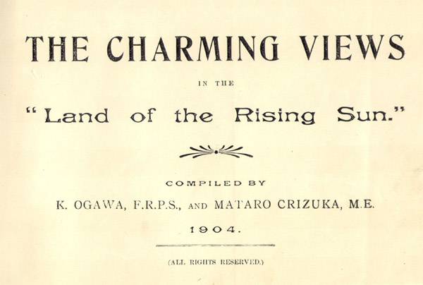
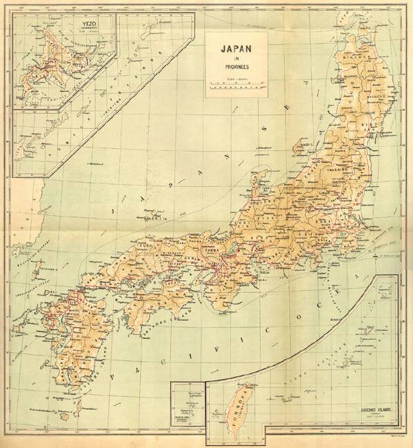
~~ Book 1904111104 ~~The Charming Views in the  This book is a written and pictorial tour of Japan at the turn of the 19th century. The book is organized and presented primarily by railway travel and the sites depicted are reached via that mode of transport. Some of the images are related to a steamship line travel and three small sections are presented under the heading of the Osaka and Kobe chambers of commerce and the Mitsu Bish Dockyard. The foldout map at the front depicts the railroad and steamship lines and routes. The images include the well known tourist spots in addition to not so common images or railway facilities and activities. In the introductory text the history of the Japanese railway system from its inception/opening in 1872 through the turn of the century is discussed. The majority of the images in this book are from sites along the Imperial Government Railways (IGR) lines. Ogawa was actively involved in projects for the IGR to promote tourism. He was employed by the IR to produce a series of collotype postal cards prompting tourist spots on the line. For more information on that project, click here. The photographs in the book are not attributed to a specific photograph. Since K. Ogawa was one of the compilers, it seems reasonable to assume that many of them were taken by him. In fact, many of the images can be found in books that he has published and where he was the photographer. This book has been reported with purple as well as green silk decorated boards with ribbon ties and green. An example of that binding is here. The ribbon ties on these books are probably decorative only. In the book I have examined the plates and the text illustrations under the text are all printed in halftone. You may find the book described as having collotype printing. I have not confirmed that a version of this book with collotype printed plates.
Map (lithographed in color, 44.5 x 50 cm - 1 fold out & 2 folds up)
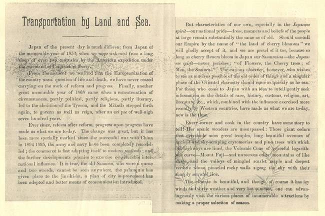
Introductory Text (click on image to see all 5 pages)
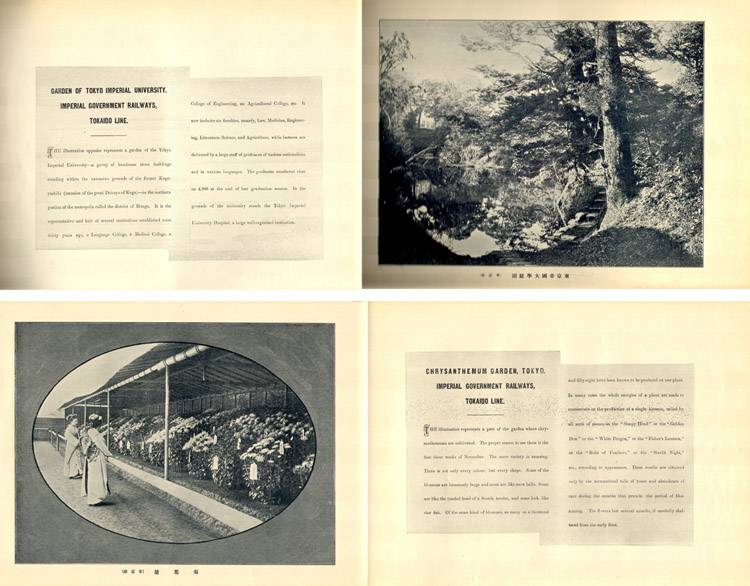
Example of text/photograph and photograph text format
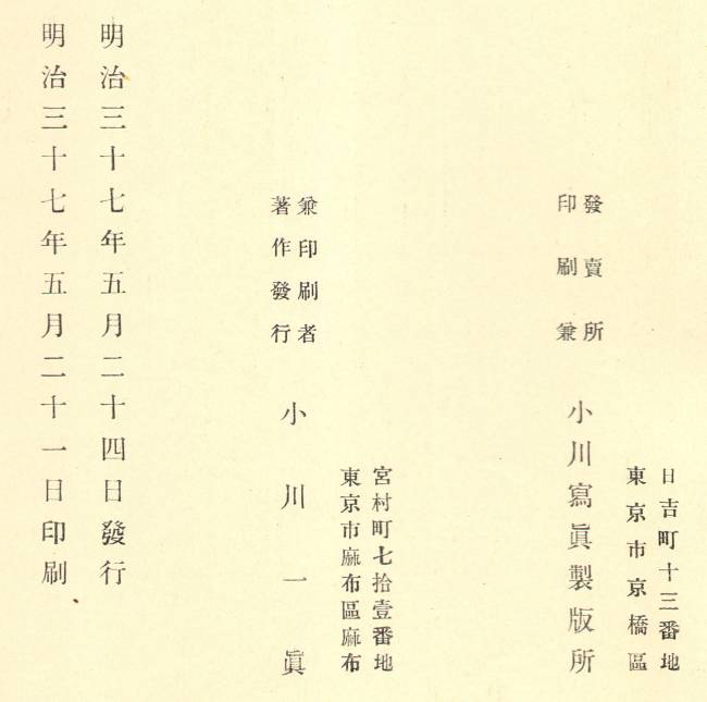
Colophon
Recap of Contents

# Pages
      Fold-out map of Japan
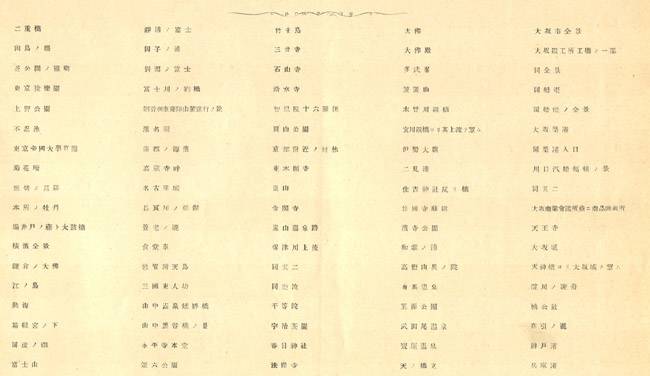
  2   Japanese text
  5   Preface "Transportation by Land and Sea"

 72   Imperial Government Railways, Tokaido  & Hokuriku Lines  - 36 photographs
  4   Taiko S.S. Company  - 2 photographs
  2   Taiko Kisen Kwaisha - 1 photograph
 12   Imperial Government Railways, Tokaido Line - 6 photographs
  8   Kyoto Railway Company - 4 photographs
 12   Nara Railway Company - 6 photographs
 14   Kwansai Railway Company -  7 photographs
  2   Sangu Railway Company- 1 photograph
  2   Imperial Government Railways, Tokaido Line - 1 photograph
  2   Sangu Railway Company- 1 photograph
 10   Nankai Railway Company - 5 photographs
  8   Hankaku Railway Company -  4 photographs
 26   Osaka Chamber of Commerce  13 photographs
  2   Imperial Government Railways, Tokaido Line - 1 photograph
  4   Kobe Chamber of Commerce - 2 photographs
  4   Imperial Government Railways, Tokaido Line - 2 photographs
 26   Sanyo Railway Company - 13 photographs
 24   Kyushu Railway Company - 12 photographs
  4   Mitsu Bishi Dockyard & Engine Workds, Nagasaki - 2 photographs
 18   Osaka Shosen Kwaisha - 9 photographs
  6   Osaka Shosen Kwaisha (Formosa & Korea) - 3 photographs
 14   Keifu Railway Company (Korea) - 7 photographs
  4   Imperial Government Railways, Chuo Line - 2 photographs
  2   Kobu Raiway Company - 1 photograph
  2   Narita Railway Company - 1 photograph
  2   Sobu Railway Company - 1 photograph
  4   Nippon Railway Company 2 photographs
  2   Imperial Government Railways, Shin-Etsu Line - 1 photograph
  4   Nippon Railway Company - 2 photographs
  2   Imperial Government Railways, Shin-Etsu Line - 1 photograph
  2   Imperial Government Railways, Chuo Line - 1 photograph
  2   Imperial Government Railways, Shin-Etsu Line - 1 photograph
  2   Hokuetsu Railway Company - 1 photograph
 14   Nippon Railway Company - 7 photographs
  4   Imperial Government Railways, O-u South & North Lines - 2 photographs
 10   Hokkaido Railway Company - 5 photographs
 16   Hokkaido Colliery and Railway Company - 8 photographs
348 pages of photographs (174) and text (174)
  2 pages of Japanese text
  5 pages of Introduction (English)
355 pages of text and photographs + 1 fold-out map
|
